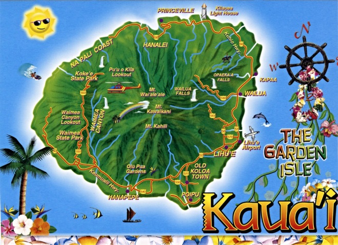

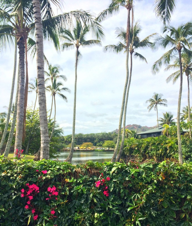
 With so many palm trees dotting the landscape, it’s not hard to see why the east side of the island is also referred to as the Royal Coconut Coast. This region is full of places to recreate, contains historical and cultural sites, and was where we had some of our most satisfying and delicious meals.
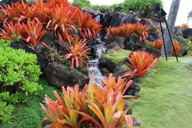
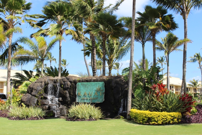
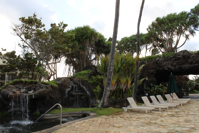
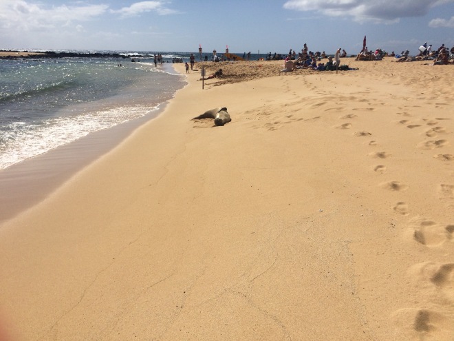
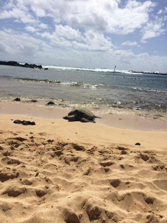
The east side was home base for the entirety of our trip, first at the Aqua Kauai Beach Resort in Lihue, which has more of the classic resort/pool/spa combination of delights (details in previous posts), then for two nights at the lovely Fern Grotto Inn in Kapaa.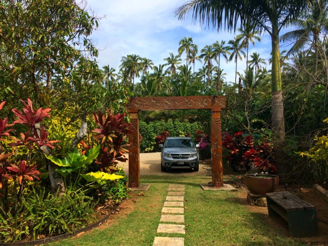 The Fern Grotto Inn is cozy and romantic, with lush grounds and a lot of guest amenities for a place with only 6 cottages. There were bikes to ride over to the nearby bike path at Lydgate Beach Park (including a fat tire bike for sand riding that caught Alex’s eye), a plethora of beach gear (coolers, snorkels, umbrellas, you name it) to take day-tripping and kayaks to pull right out onto the river for guests to use.
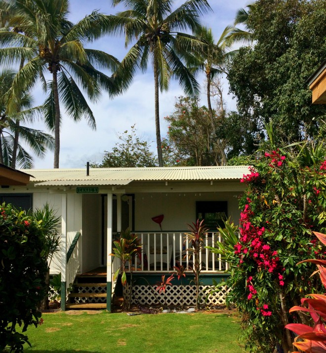 Right on the Wailua River, the Inn is great for explorers who want to come “home” at the end of the day. Our studio sized cottage, Canal Cottage B, was a one room affair with a small but very well stocked kitchen, a bathroom and private porch. Our room was decorated in fresh orchids from the property when we arrived.
 Personal touches abound at the Fern Grotto and guests are encouraged to make use of the communal garden, whether relaxing in a hammock, cooking up some ahi on a grill or picking fruit from the many trees around the property. Oranges were available when we stayed in February and little mango fruits were just starting to grow. Apparently in three or four months, they end up with hundreds of mangos from their trees!
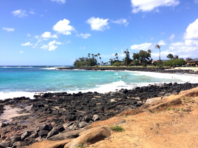
The only downside of staying in Kapaa: the traffic! The one lane road through town, combined with a large local and tourist population centered there, means that your travel can grind to a halt, even at unexpected hours. We were thankful to be on the edge of town, where the more circuitous by-pass road is also an option.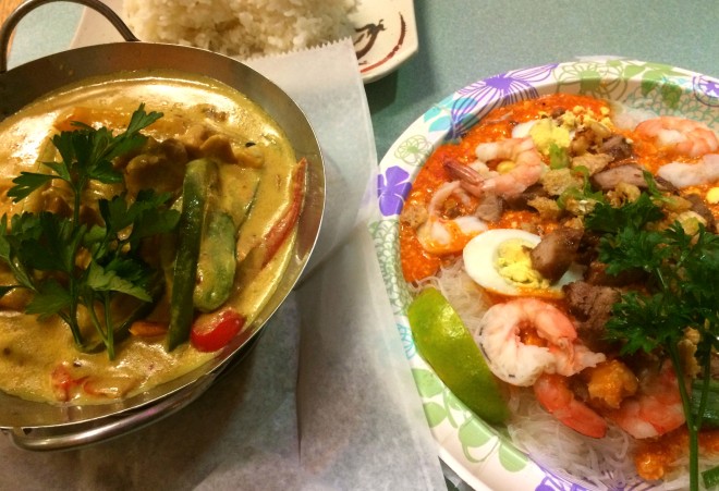 Our biggest challenge was staying put and relaxing with all the great things close by. While we did use our in-suite kitchen once, the food of the east shore tempted us too much to cook often.
Some of the best places we ate:
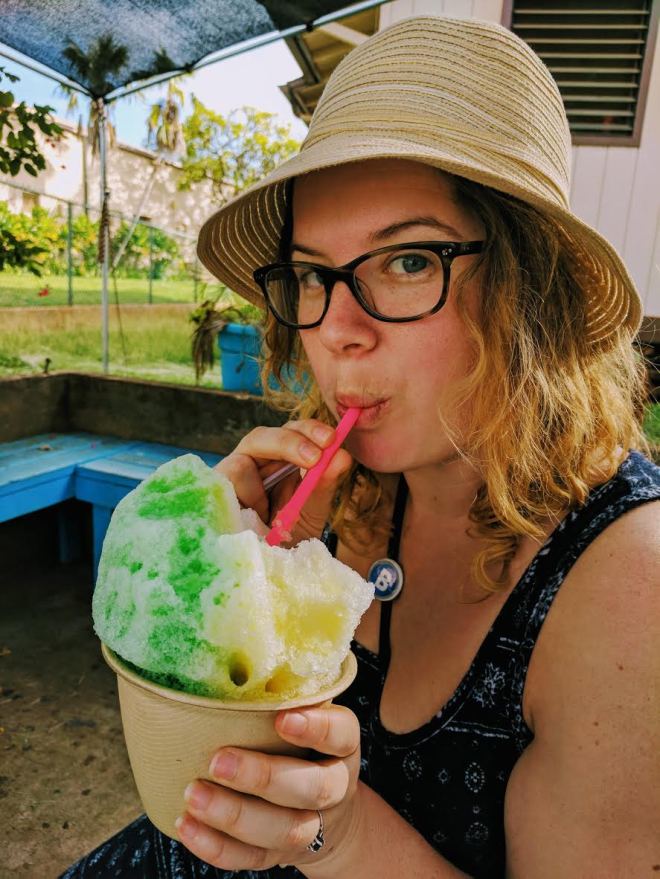
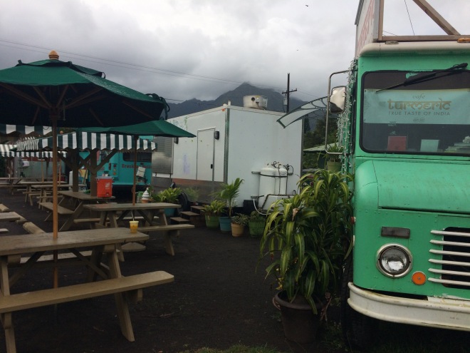
The Filipino food at the Kauai Family Cafe in Kapaa had deep, savory flavors and a friendly atmosphere. This truly hole-in-the-wall cafe is home-style cooking at it’s best. Don’t expect to be in and out quickly, but the love your food is clearly cooked with more than makes up for any wait time. Apparently popular for its American breakfast as well. We love food trucks and Kikuchi’s was some of the freshest food we tasted during our stay. Both the fluffy steam bun sandwich (we chose crispy ginger chicken to be tucked into their fluffy bao wrapper) and the veggie-full seared ahi sushi wrap were major winners. We were happy for the side salad with excellent homemade dressing in a land heavy on mayo sides (though fries are also an option).
Plate lunch is a staple in Hawaii and we couldn’t go without getting some BBQ. Harley’s Tropical Barbecue, tucked away in the industrial section of Lihue, was the place to go for a casual bite. I’m still dreaming of their flavorful kalbi (Korean short ribs) and surprisingly delicious brown rice.
After we grabbed some tasty, albeit expensive, fresh roasted coffee from local spot Imua Coffee Roasters, we picked up a wrap from the Sleeping Giant Grill to take exploring with us. Their flavorful ono, which we choose with the mochi preparation (crusted and fried, we can’t always be healthy!) was easily transportable in a tightly rolled burrito.
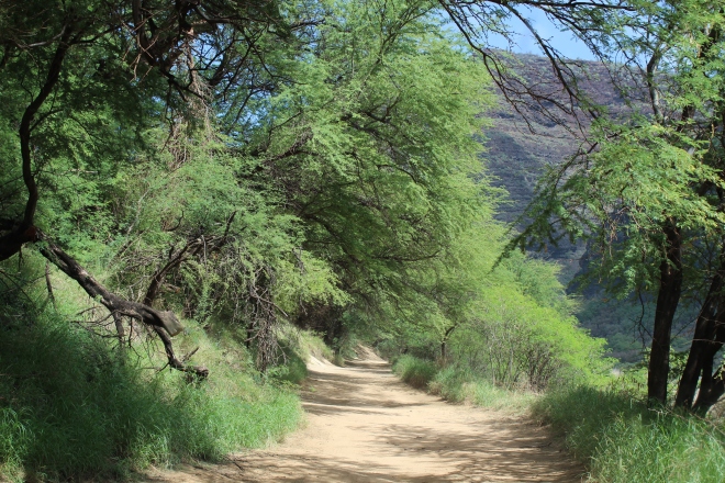
We wanted to see what the inland part of the east side had to offer and settled on a jaunt up to the Keahua Arboretum.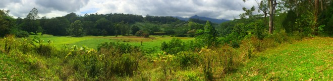 We drove up through the mountains inland and the higher elevation, with its moist and cooler air, can be a nice escape if it is hot on the lowland coasts.
 We enjoyed exploring around the arboretum but if you, like us, are picturing maybe a formal building, plaques, educational materials etc., just know before you go that the arboretum is very choose-your-own-adventure. The space has clearly been cultivated (the grass would be impassible otherwise) but other than the presence of some picnic tables, an informal trail or two, and an outhouse-style bathroom, it’s up to you to enjoy it as you wish.
There is the 13 mile, all-day hike within the arboretum, the Powerline Trail (rocky and foreboding looking, with a marker that claims it to be unmaintained right at the start). There may be more to see down the arboretum road, which takes you further in, but due to massive construction happening on the entry bridge, this route was not an option for us.
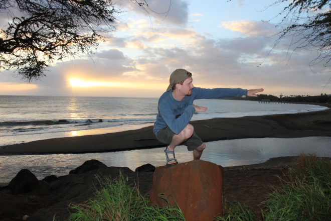
The Kuilau Ridge Trail is a better choice for casual hikers and is right outside the entrance to the arboretum. It offers views of the interior and Mount Waialeale. Park on the side of the road unless you’re lucky enough to snag one of the three parking spots at the trailhead. We had a picnic and enjoyed some impromptu yoga and stretching before fully exploring all the arboretum had to offer. Very few people were there (most of the people parked were hiking the Kuilau Trail) and we rarely saw anyone else as we wandered.
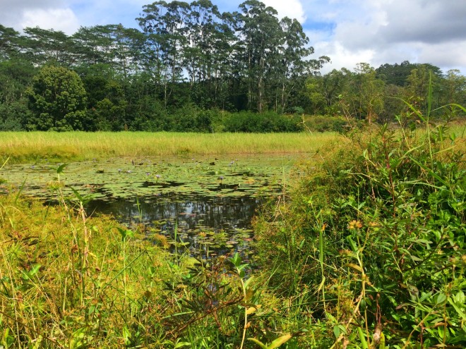 There is apparently a swimming hole nearby. This pond is what we found- still unsure if this is it (no sign of the accompanying rope swing), but if you’re braver than us you can check it out!
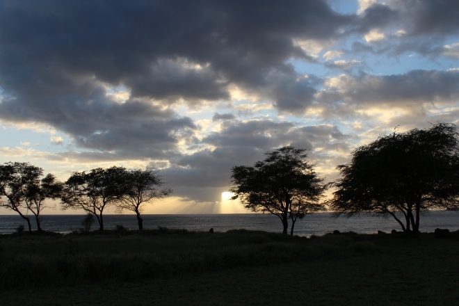
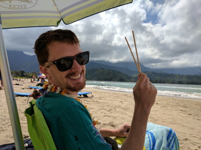
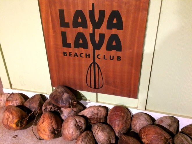 After much trekking, as we tend to do, I wanted to switch directions and go for romantic beach dinner. After cleaning ourselves up to be presentable outside of the forest, we headed to Kappa’s Lava Lava Beach Club.
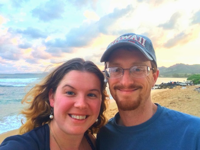 Though Lava Lava serves all meals, I was quite enamoured with the idea of eating on the beach at sunset, with a side benefit of being able to stroll along the shore or lounge in the chairs they have set up in clusters on the sand outside of the restaurant.
We were lucky enough to be there when there was live music from a Hawaiian band, complete with hula dancer, and fun beach games were set out around the area (giant jenga, cornhole etc.), which meant we spent extra time before and after our meal enjoying the ambiance and slow dancing under the palms.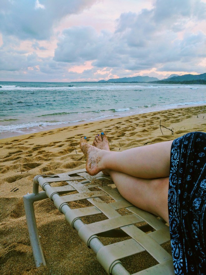 Does it get better than sand between your toes, a warm night and a sunset?
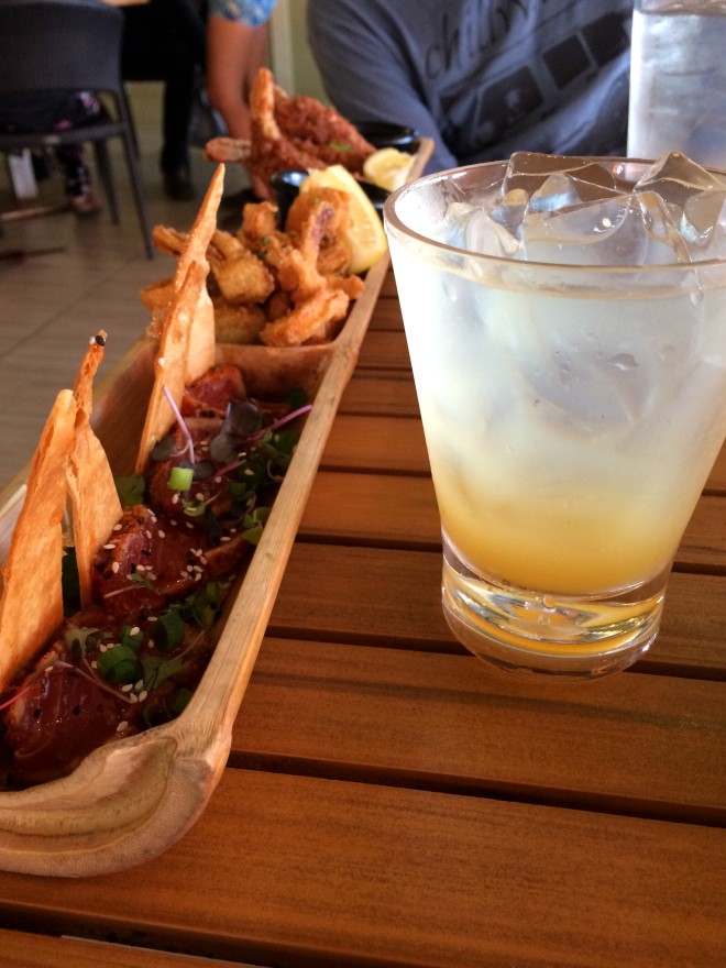 Bonus points: we made it in time for happy hour! Well, at least for the drinks, where happy hour goes an hour later and which is arguably the most important part. I recommend you get there between 3-5 PM, so as to partake in their happy hour food as well since the menu is a little spendy, but really, we had a fantastic time and so will you, no matter how you do it.
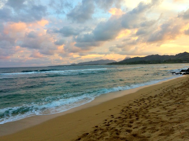

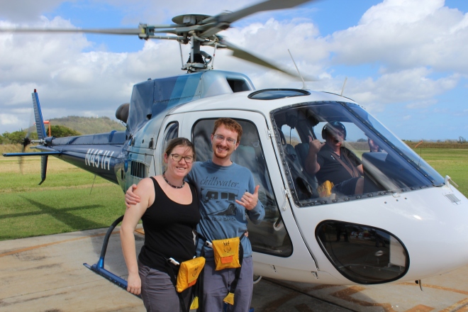 This trip we decided to do something we had never done before- a helicopter tour!
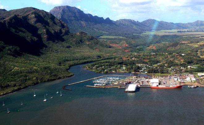 We chose the 50 minute Grand Circle Tour, a popular offering across helicopter companies. The flight left out of the Lihue Airport, conveniently just down the road from the
 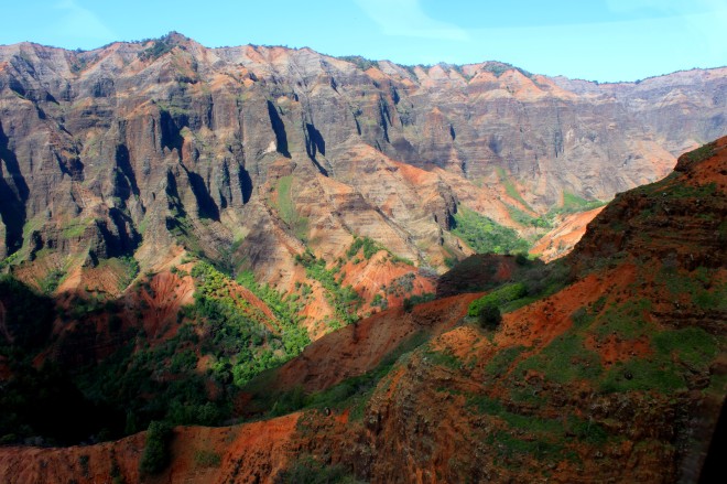 Part of the reason we chose to to helicopter was the desire to see what
 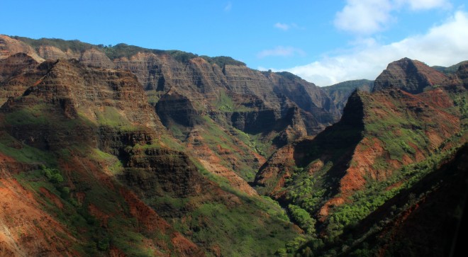 Our helicopter was much more nimble than I would have expected and our pilot maneuvered in and out of the valleys and over ridges with ease as he followed mountain goats and pulled us over waterfalls, all while keeping up a nice banter over the intercom. Our pilot, a former Vietnam pilot and school teacher originally from Kauai, helped us relax by “reading the air” to tell us when drops would occur. His knowledge helped us feel confident we would not be needing the inflatable life jackets we were required to strap around our waists prior to boarding.
  The pilot’s commentary is set to a background of everything from the Hawaiian folk music that is ever-present on the island to reggae to the Jurassic Park theme song pipped in through your headphones. You can also ask questions through a little radio.
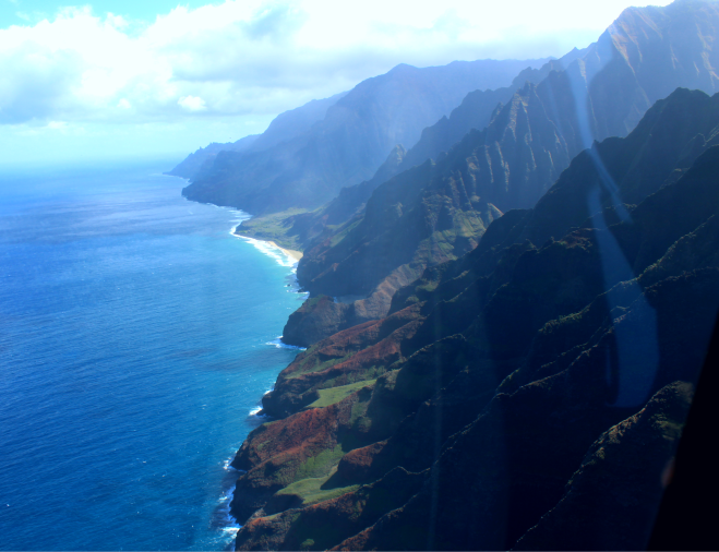 The Na pali coast of the north shore is gorgeous and fairly inaccessible except for by air or by sea. Na pali, which means “the cliffs” or “many cliffs” in Hawaiian, consists of 17 miles of sheer drop-off cliffside with valleys between that were inhabited first by Polynesian navigators around 1200 AD.
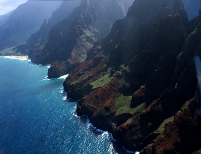 After soaring over the ocean to take in the full expanse and cruising over Hanalei Bay, we flew up towards
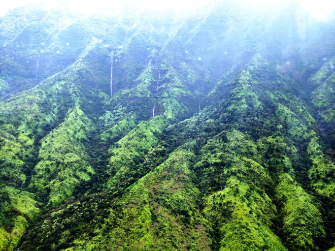 We choppered inland through Honopu Valley, also known as “the Valley of the Lost Tribe.” The lush basin had literally hundreds of waterfalls pouring down the sides. According to our pilot, the tribe of people who lived here until the 19th century disappeared (thus the name) and he also told us of the rumor of early inhabitants with red hair and light colored eyes in the area. This misty vale is the site of many Hawaiian myths and legends, some of which have now been lost as the oral history of the Hawaiian people gets passed down less and less frequently through generations.
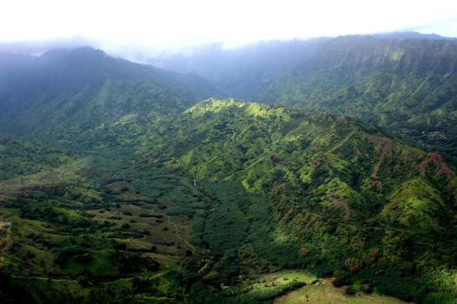 The background of this photo contains
 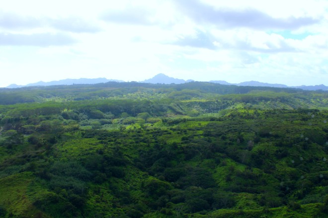 We ended our trip heading southeast over the jungleous stretches of the eastern interior. We flew over the Halelea Forest Reserve, Kealia Forest Reserve and the Wailua River before reaching coastline again. Our pilot was stoked to tell us about the new bike trails and connections around
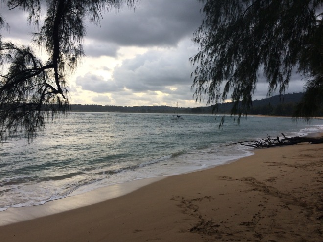
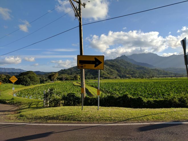 We passed watery fields of taro as we made our way slowly home. Taro was once the lifeblood of islanders and was so culturally important that it was considered an elder sibling of the Hawaiian race. While over 300 varieties of taro were cultivated in ancient times (since around 700 AD in this valley), competition for land, among other factors, has decreased the amount of taro grown on the island. Now, the wetlands of Hanalei Valley are part of a wildlife sanctuary program, a partnership between conservationists and local farmers; farmers get affordable land to cultivate taro and birds and other wildlife use the fields as habitat.
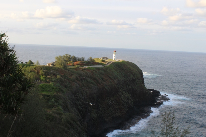

")